Use geofences to turn locations into useful alerts
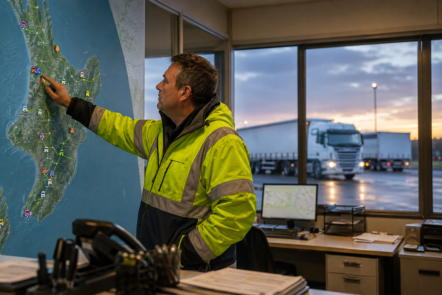
Set practical virtual boundaries around yards, customer sites and work areas to make arrivals, departures and exceptions easier to see.

Choose boundaries that support a decision
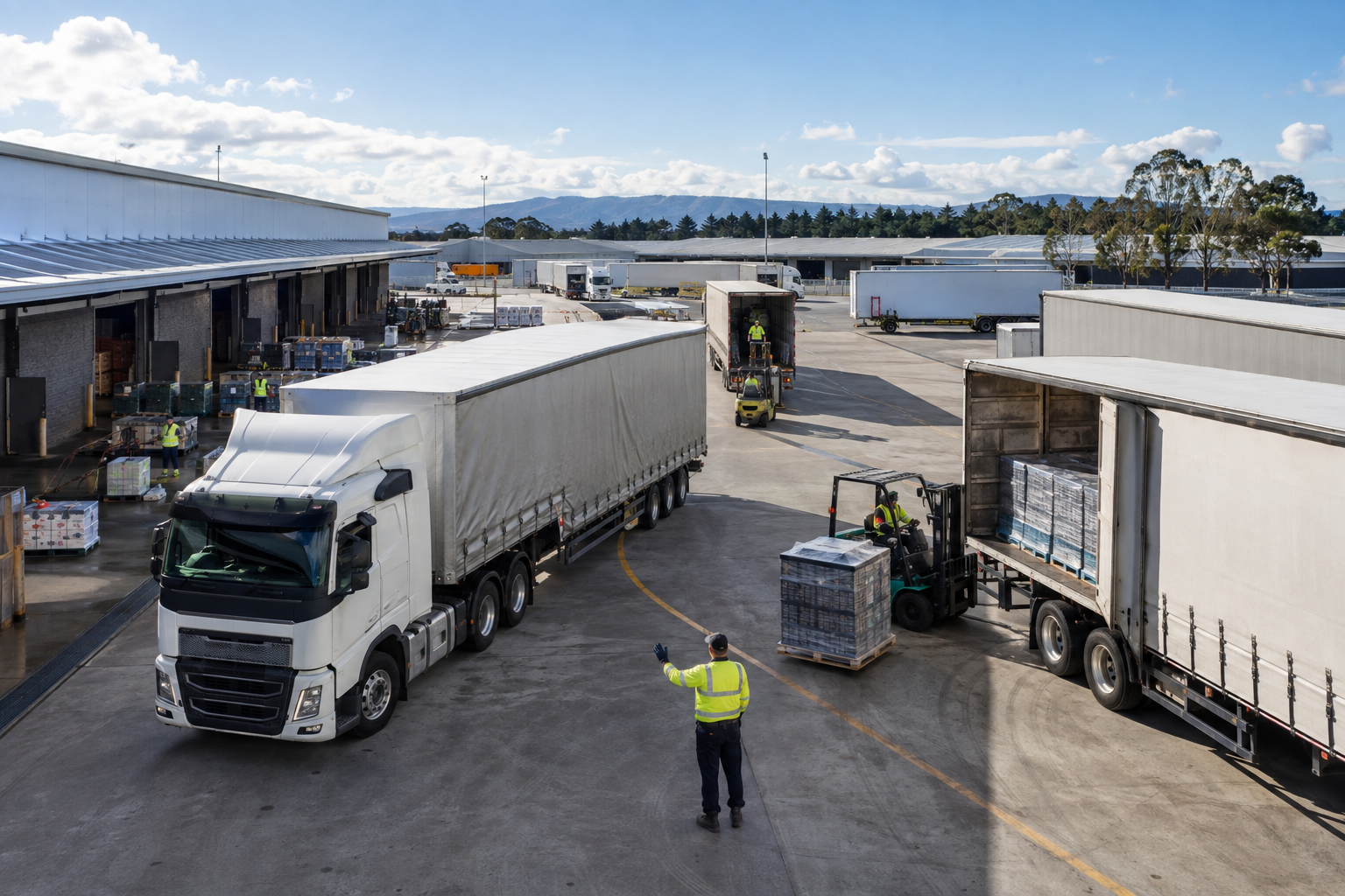
A geofence is most useful when it reflects a real operating location and someone knows what to do with an entry or exit event. Start with depots, customer sites, restricted areas or job locations where arrival, departure or unauthorised movement matters.
Use a boundary that fits the site and its approach roads. Include a site name and owner so alerts have context rather than appearing as unexplained map events.
Match the alert to the situation
A delivery arrival may update a job record, while an asset leaving a secure yard after hours may need an immediate notification. Set different rules for normal operating hours, expected visits and higher-risk assets.
Route each alert to a person or team able to respond. Too many low-value notifications teach people to ignore the ones that matter.
Review accuracy and exceptions
Check geofence events against known visits and site conditions. Adjust boundaries when GPS drift, adjacent roads or a large property create false arrivals, and document any locations where a manual check is still needed.
Over time, site activity reports can help teams understand dwell time, service patterns and the difference between planned and unexpected movement.
Explore TrackIt